
Twickenham
An 18th century village hidden behind a modern suburb
Since the beginning of May I've been writing occasional pieces here about the great houses that used to (and in some case still do) line the north side of the Thames between Richmond Bridge and Twickenham. I’m concentrating on the area in the 18th century when it became very fashionable. I’ve put a list of buildings I’ve written about, with links, at the end of this post.
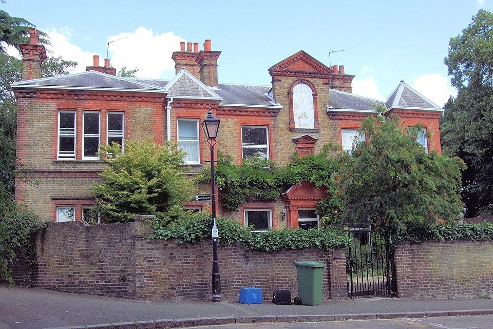
The last bit of our walk ended at York House. Beyond York House, is Dial House. Built in the early 18th century (the sundial on the front shows a date of 1726) it’s a substantial family home rather than a grand house with elaborate grounds. It was recently sold with an asking price of £3.5 million, if you’re thinking of moving to the area. There may have been an older house on the site but around 1722, Thomas Twining, the tea merchant, built what was to become his family home, either demolishing the old property or substantially rebuilding it.
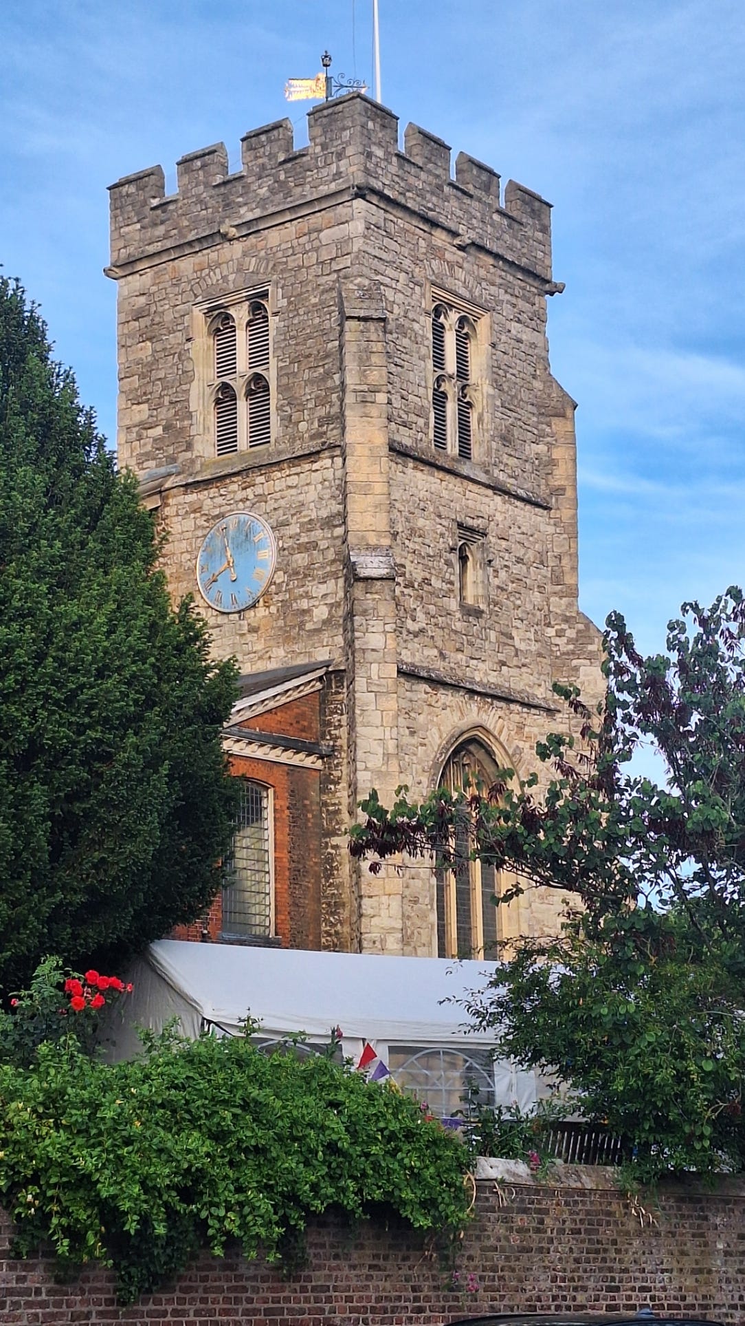
Dial House adjoins the churchyard. (The Twinings eventually gifted the house to the church and it became the vicarage.) St Mary’s dates back to the 14th century, but in 1713 the nave collapsed. A new church was built in the neoclassical style, although it retained the 15th century tower, producing a rather strange mix of medieval and Stuart.
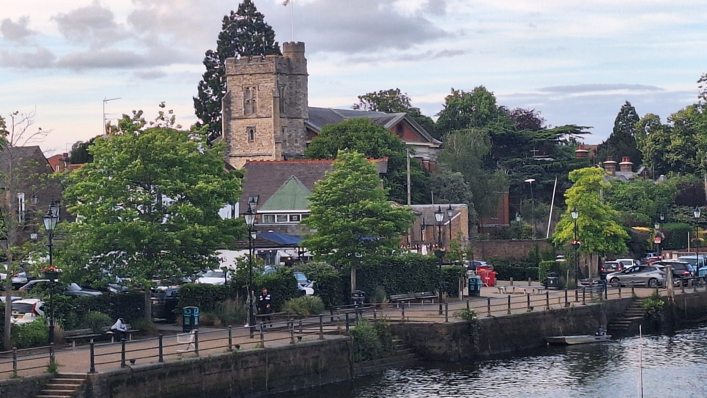
The church marks the eastern boundary of the old village of Twickenham that stretched, west along the river. It was a fishing village and known for its lampreys. They also caught a lot of eels. (By the 19th century riverboats would bring day trippers from London to enjoy the delicacies sold on Eel Pie Island opposite the church.) In the 18th century, many of the locals also worked on the open fields surrounding the village with barges carrying farm produce along the river to market in London.
There were at least two breweries and the five public houses in the heart of the town would probably have produced their own beer. Beer was an important part of the working person’s diet in the 18th century and much safer to drink than water. There were also some brickworks nearby as there was brick-earth in the area
Contemporary accounts describe the locals in very negative terms. There was certainly a lot of poverty and the nearby Hounslow Heath (in the 18th century the Heath merged into open country that reached close to the village) meant that some of the local pubs were frequented by highwaymen.
Nowadays, Twickenham town centre looks like just another suburb with a busy through road leading out towards the M3, lined with modern chain stores. The original Twickenham still lurks in the space between the modern main road and the river. It is centred on Church Street that runs from St Mary’s paralleling the river.
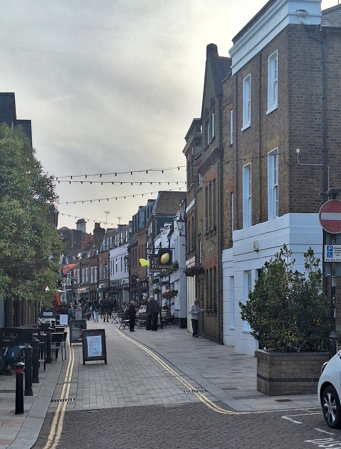
Some of the buildings on Church Street date back to the 17th century, including the The Fox.
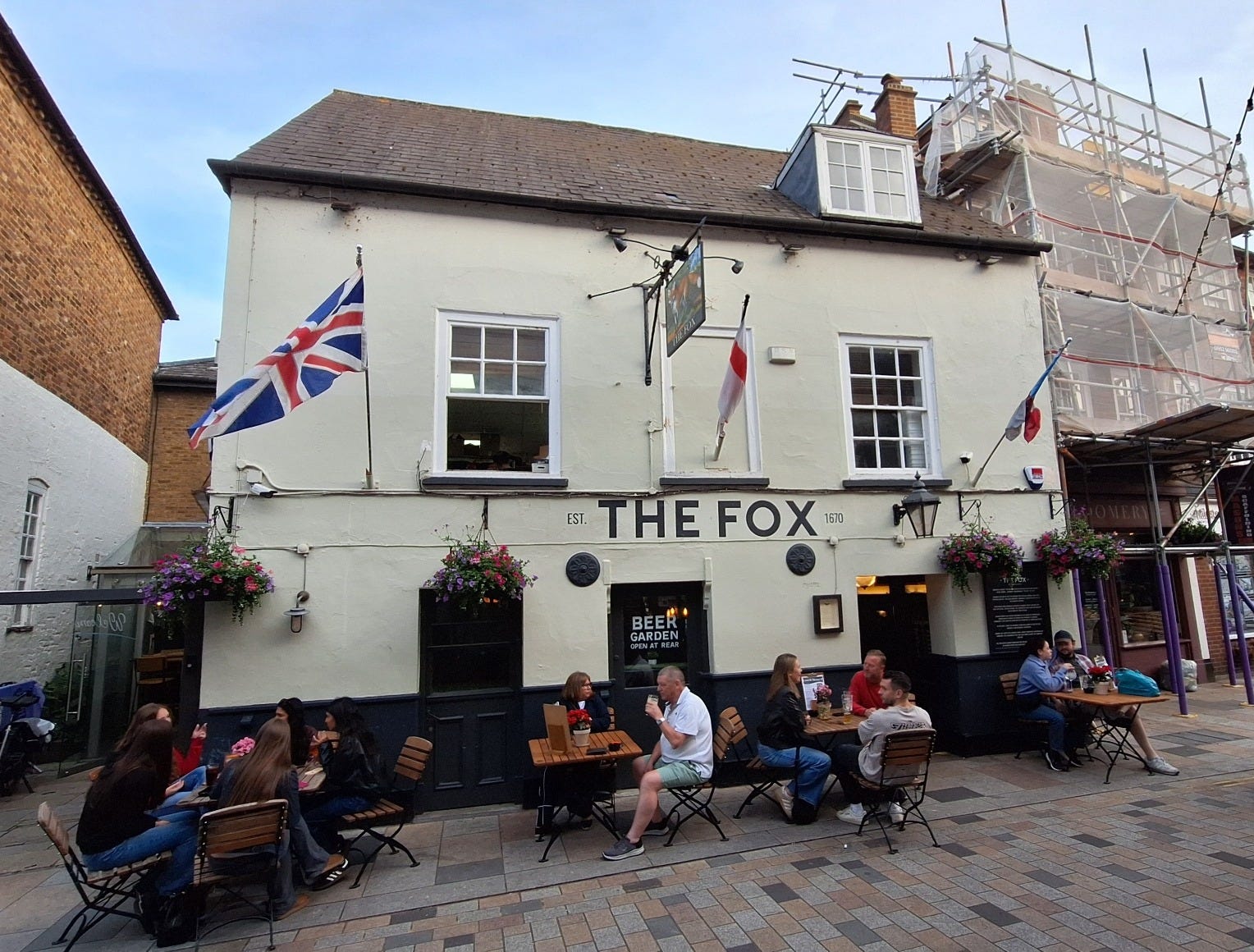
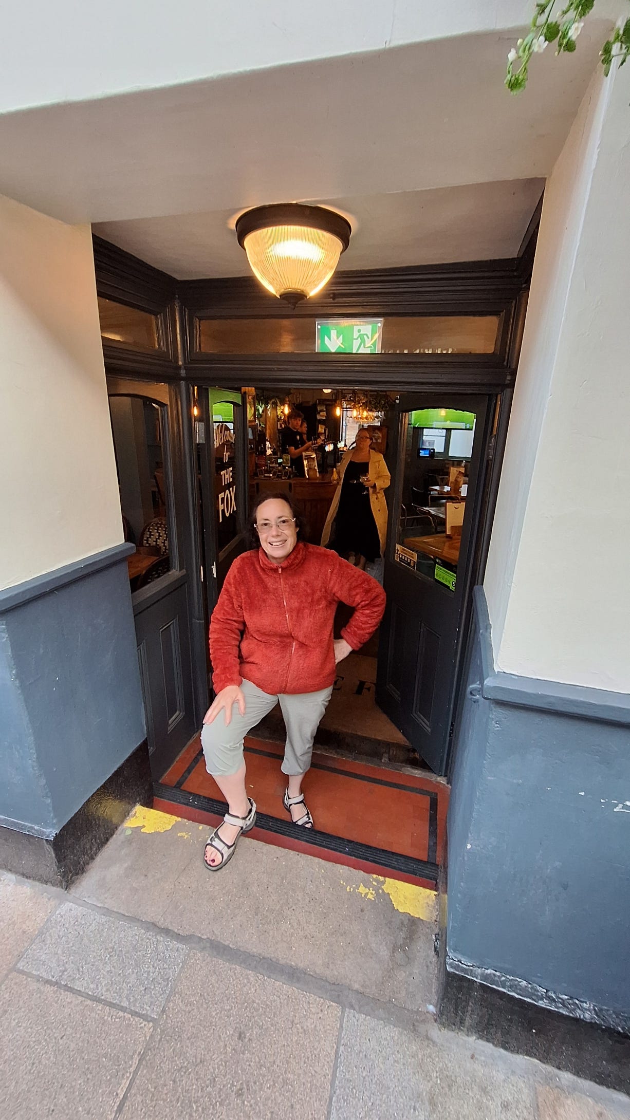
The steps down from the street into The Fox show how much the surface of Church Street has risen over the past 300 years.
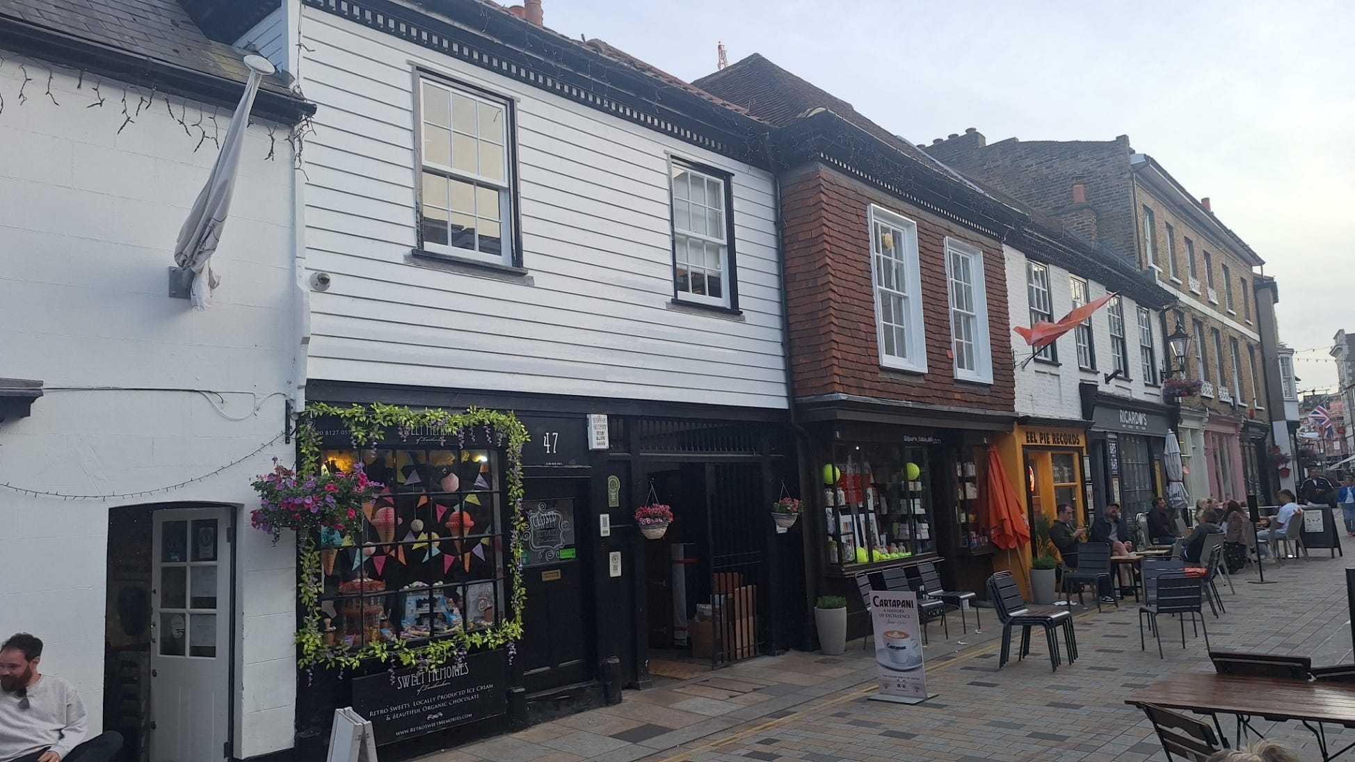
The houses in 18th century Church Street would have been tiled rather than thatched and probably looked similar to today — though less smart and without such large windows!
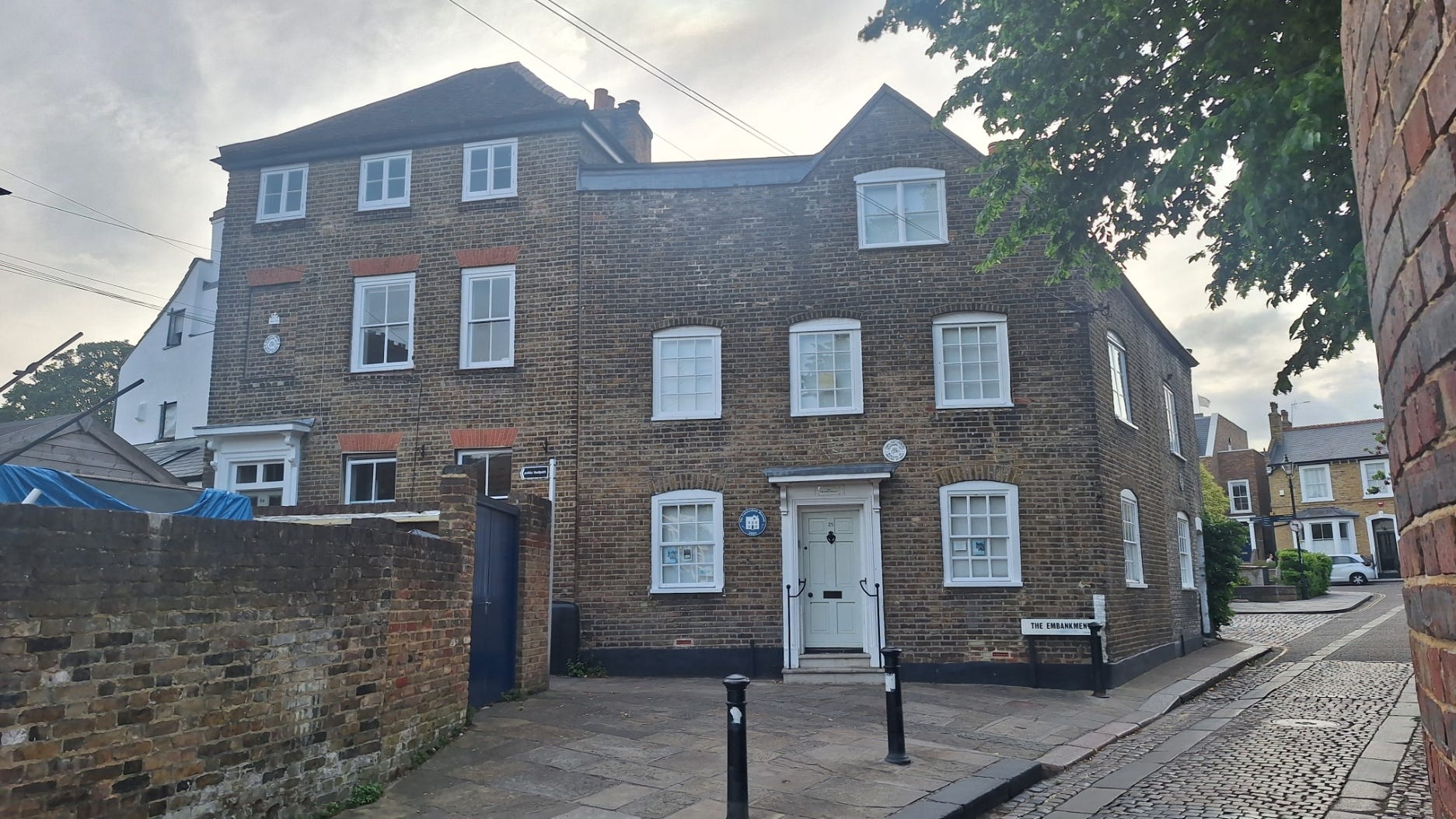
Between Church Street and the river are some 18th century fishermen’s cottages that, on a dark evening, may give some idea of what Twickenham might have looked like then, though modern sewerage and piped water means that nowadays probably doesn’t smell like the 18th century. The photo shows what would have been two of the more prosperous buildings. (One is now the Museum of Twickenham.)
I hope you’ve enjoyed the walk along the Thames. Here are links to the previous posts:
I really enjoyed this, Tom. How lovely to be able to enjoy London's past 'in the brick' so to speak. The whole area is living history.