
Gibraltar
History, fortifications, big guns and monkeys. What's not to love?
A note before I begin
I started this on a three day break in Gibraltar, which has turned (so far) into a five day break thanks to storms that everyone says are worse than anything seen in 20 years and which have closed the airport and roads into Spain. Hence what was always going to be a long post has become a very long post, but I think it’s worth bearing with it because if you like history or fortifications then Gibraltar is simply one of the best places in the world, despite the weather.
I’m breaking this post into two. This week we cover the tunnels, the Northern defences and the Line Wall. Next week will be mainly the Southern defences and developments in artillery. It’s going to be great. Enjoy!
Introduction
I’m writing this in Gibraltar. Sorry. It was a Christmas present from my wife which goes some way to explain why we are still married, although it doesn’t really as I don’t need to be bribed to stay married to her and it wasn’t me buying her a present to go somewhere I knew she’d love.
Anyway, she knew I’d love it because it combines ridiculous amounts of medieval fortifications with loads of Georgian history and monkeys thrown in for good measure. One thing it doesn’t have, and I can’t stress this enough, is good weather. If you visit at the beginning of February, take waterproofs. All the famous tunnels are made of limestone and limestone is permeable to water so it even rains indoors. Fortunately there are dry intervals and the scenery is amazing, so I can forgive it the odd torrential downpour.
I’m sharing this, partly because if you’re not interested in Georgian history and old wars you’re probably in the wrong place but mainly because if I don’t get my head round it now I never will, so you’re going to have to look at my holiday snaps and like them.
People have been fighting over Gibraltar since at least the eighth century when the Berbers landed there. The excellent Gibraltar Museum has a model of a Neanderthal mother and child based on skeletons found in a cave there so, humans being humans, they’ve probably been fighting here for even longer but the first fortifications that have survived to today date from the 14th century.
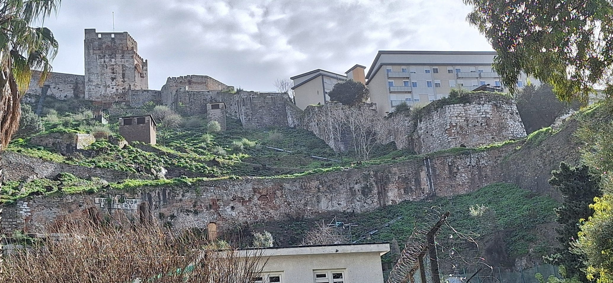
Since then fortification has been built on fortification. The opening of the Suez canal in 1869 made Gibraltar even more important as it controlled access from the Atlantic to the fastest, safest route to the Far East. Military building continuing until the 1960s, making an incredibly complex pattern of overlapping fortifications (even the Tower of Homage incorporates elements of an earlier tower) that can be difficult to make sense of.
The Tunnels
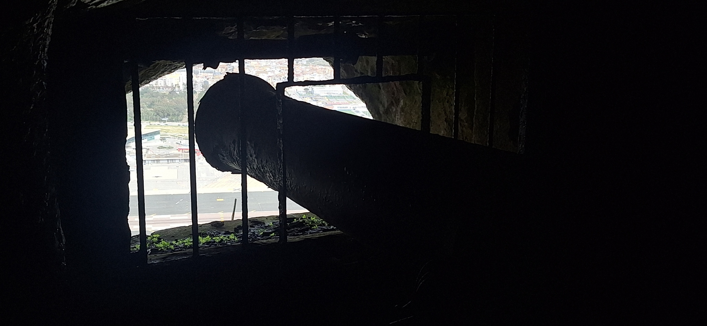
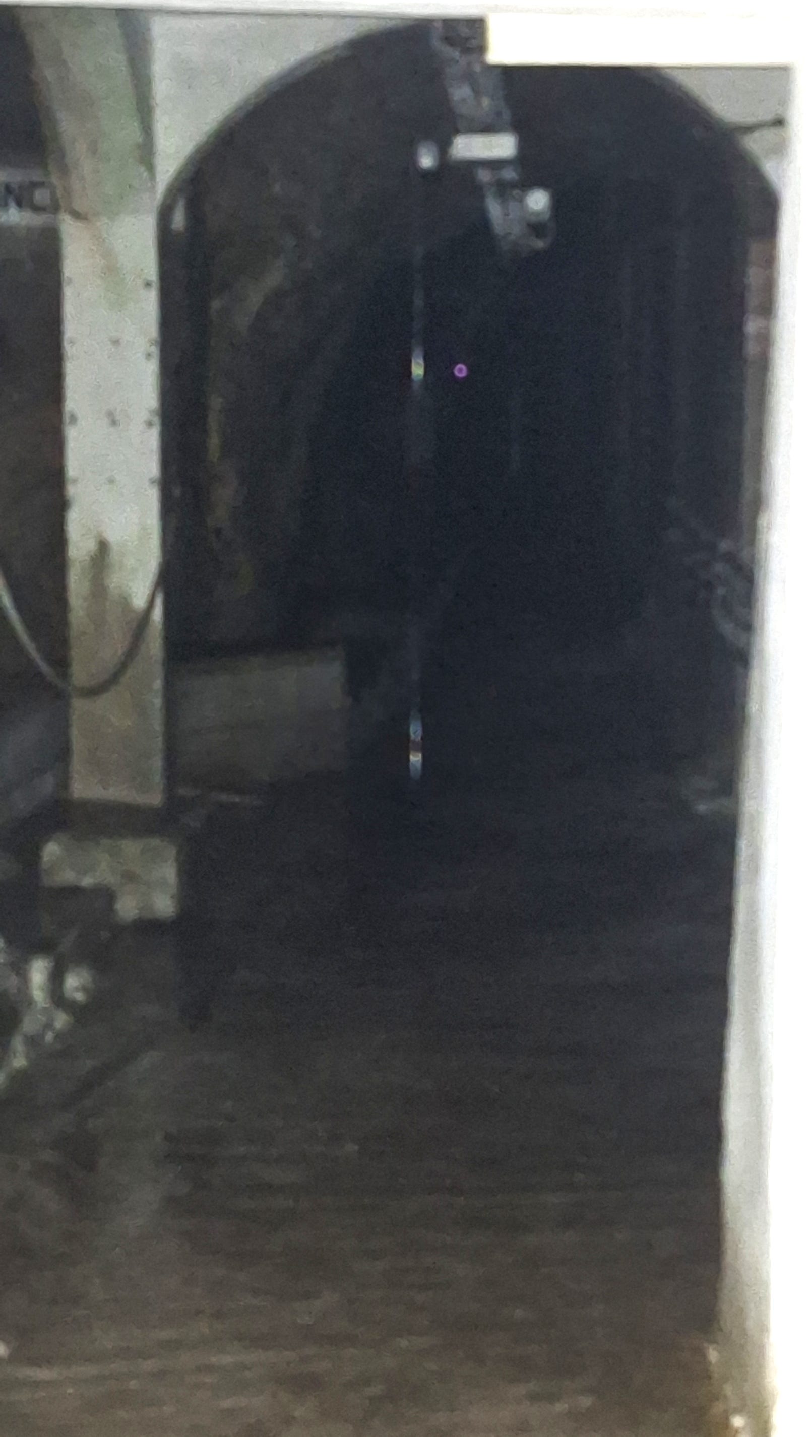
In total Gibraltar has been besieged fourteen times but the most famous, the Great Siege, saw British forces hold the Rock against a combined French and Spanish assault that lasted in total from September 1779 to February 1783. It was during this siege that the famous tunnels were started through the rock, providing gun positions that guarded the northern approaches to the British defences. The tunnels were cut by blasting the limestone with gunpowder and clearing the rubble by hand. The original tunnel was a single meandering path through the rock with occasional blind spurs where they realised that they had lost their line. The idea had been to head for a particular ledge which looked like a good place to site a cannon but as they cut upward they broke through the rock face and realised that they could put cannon inside the rock, offering a safer place to fire from and getting the cannon operating much more quickly than if they cut all the way to their initial goal. The picture below shows a cannon inside the tunnel aimed out over the northern approach far below.
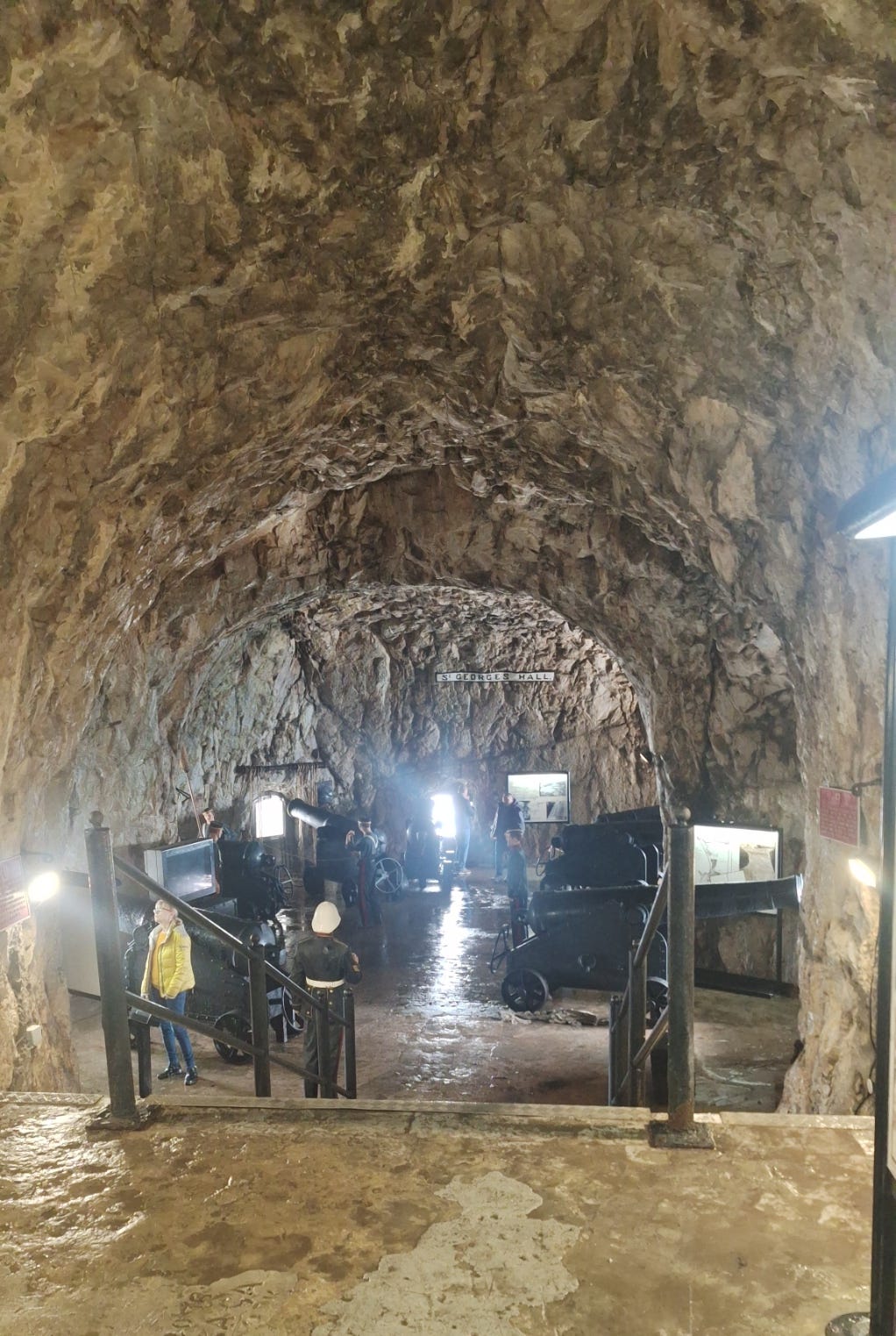
In fact, the Great Siege ended before the tunnel reached the spot that had been planned, but after the siege it was decided to continue, providing an even stronger fortification if Gibraltar was ever attacked again. The later tunnelling gives the impression of being straighter and more finished as it was a planned project which lacked the urgency of the work done when an assault on the northern fortifications was expected imminently. The final chamber at the end of the original tunnel held a battery of seven guns in the astonishing man-made cave that was named St George’s Hall.
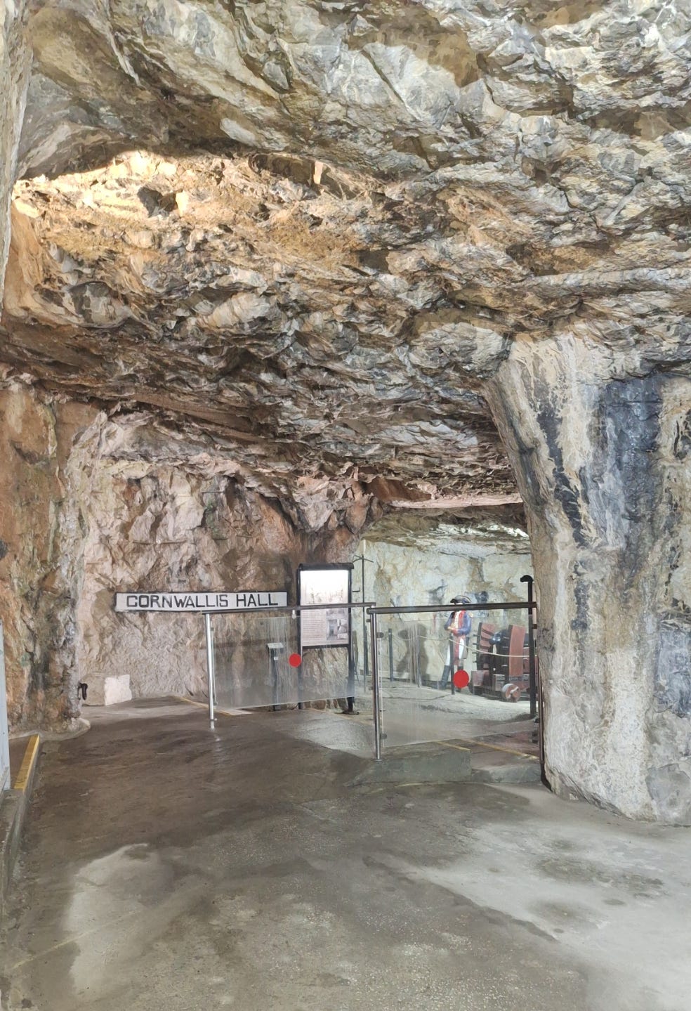
Later, more layers of tunnel were cut, though these are not generally open to the public. You can visit one, Cornwallis Hall, which is reached by a spiral staircase down from the main gallery.
The tunnels were fitted with more modern artillery over time and, although Gibraltar was never attacked in World War I, it was fully garrisoned and ready to defend itself with the latest equipment.
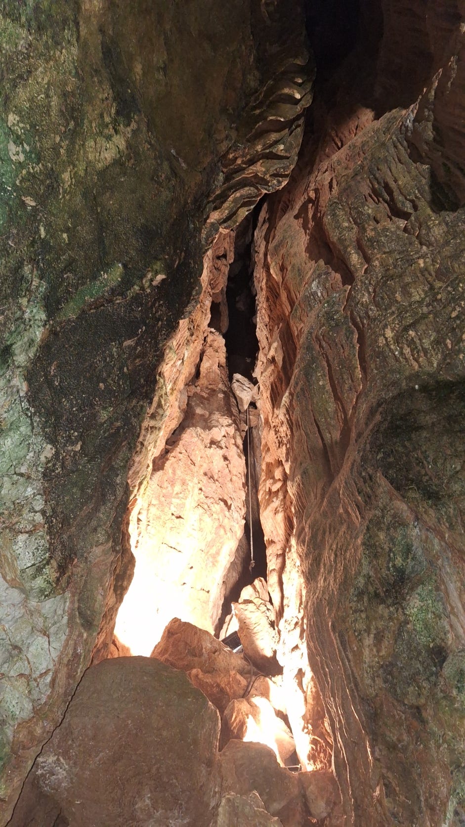
By World War II warfare had changed. The tunnels continued to provide sites for artillery, but they were developed to provide underground bases giving shelter for thousands of troops together with underground kitchens, munitions storage and even a hospital. Gibraltar was used as the jumping off port for the Allied invasion of north Africa (Operation Torch) and a whole army was hidden away inside the rock. This meant an entirely different approach to tunnelling. Diamond tipped electrical drills were used to drill the holes for placing explosives and rubble was gathered up by bulldozers, although much of the work was still done by hand. The tunnelling was on a completely different scale, almost impossible to catch in a photograph. The picture below, of one of the main corridors, shows it stretching away into darkness. As this was built for shelter, rather than to provide artillery positions, there are no openings to the outside world and it is lit only with miles of electrical cabling.
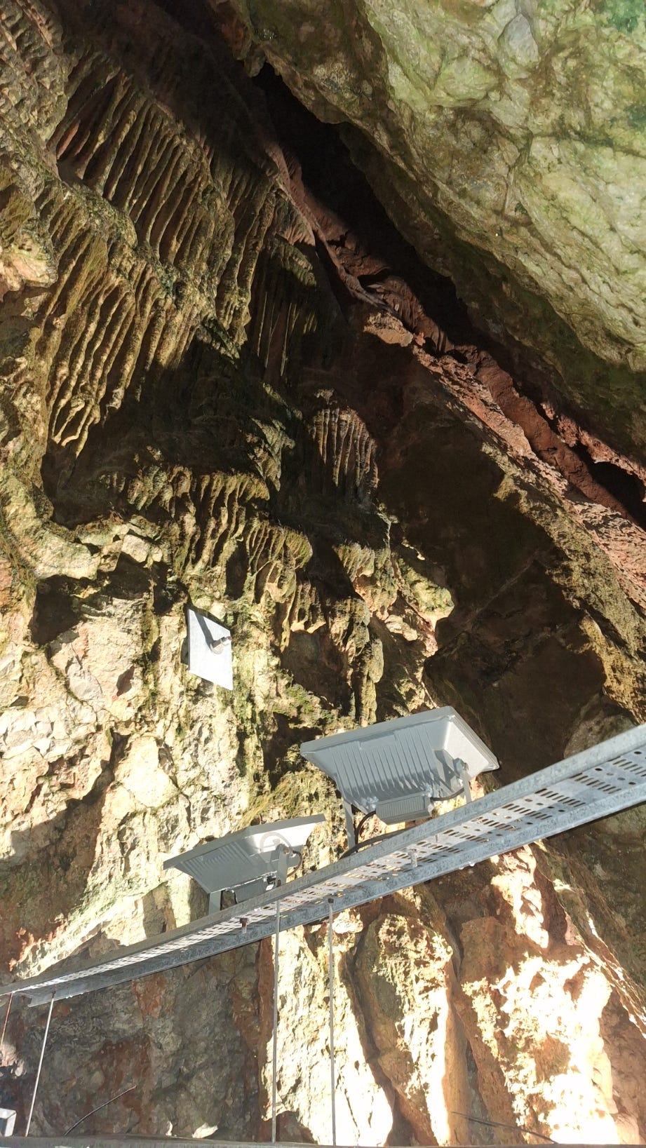
Huge caverns are cut into the rock off the passages, some even housing whole Nissen huts. Shelters were needed inside the tunnels as, as mentioned above, the rainwater makes its way through the rock and when we went some caves had inches of water in them.
The WW2 tunnels reveal some natural fissures in the rock, again difficult to catch in a picture but with a definite Mines of Moria feel that will be familiar to anyone who has seen Peter Jackson’s Lord of the Rings.
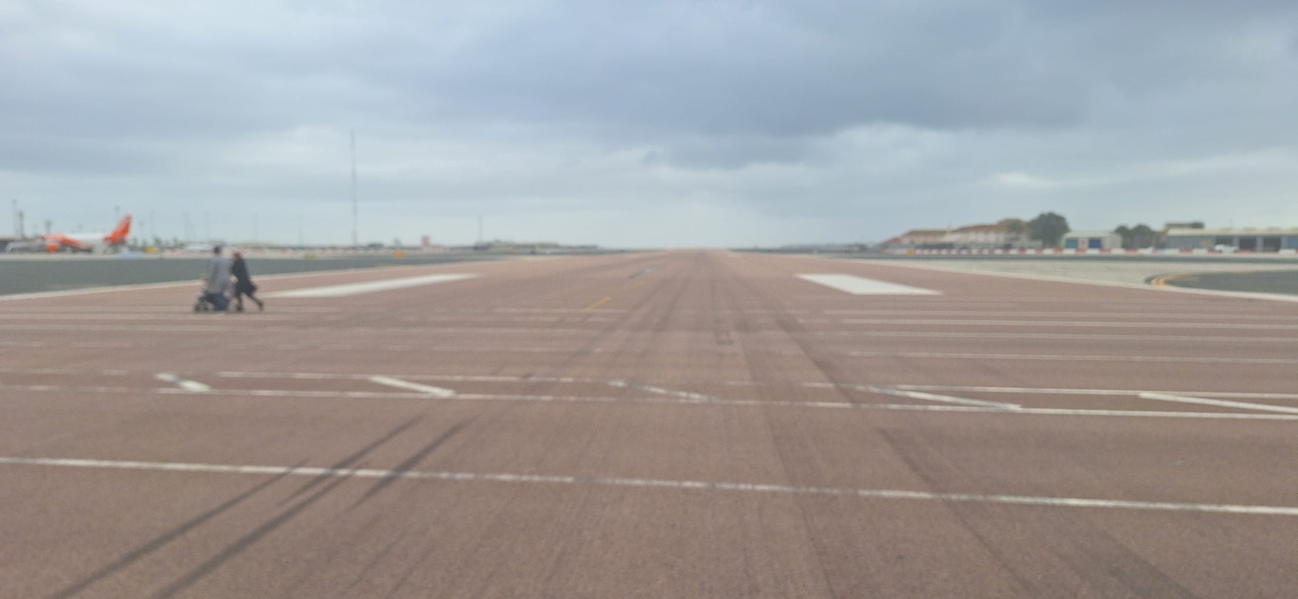
Operation Torch also involved many aircraft but Gibraltar, at the beginning of World War II, had only one small grass runway. The stone debris from the excavations was used to build a runway right across the isthmus between Gibraltar and Spain with the landing strip extending into the sea both ends so, until recently, anyone entering or leaving Gibraltar by land had to cross the runway. There’s a road cut underneath it now, but the airstrip is still in use giving visitors a dramatic landing to start their holiday and pedestrians still walk across the runway into town.
The Northern Approaches
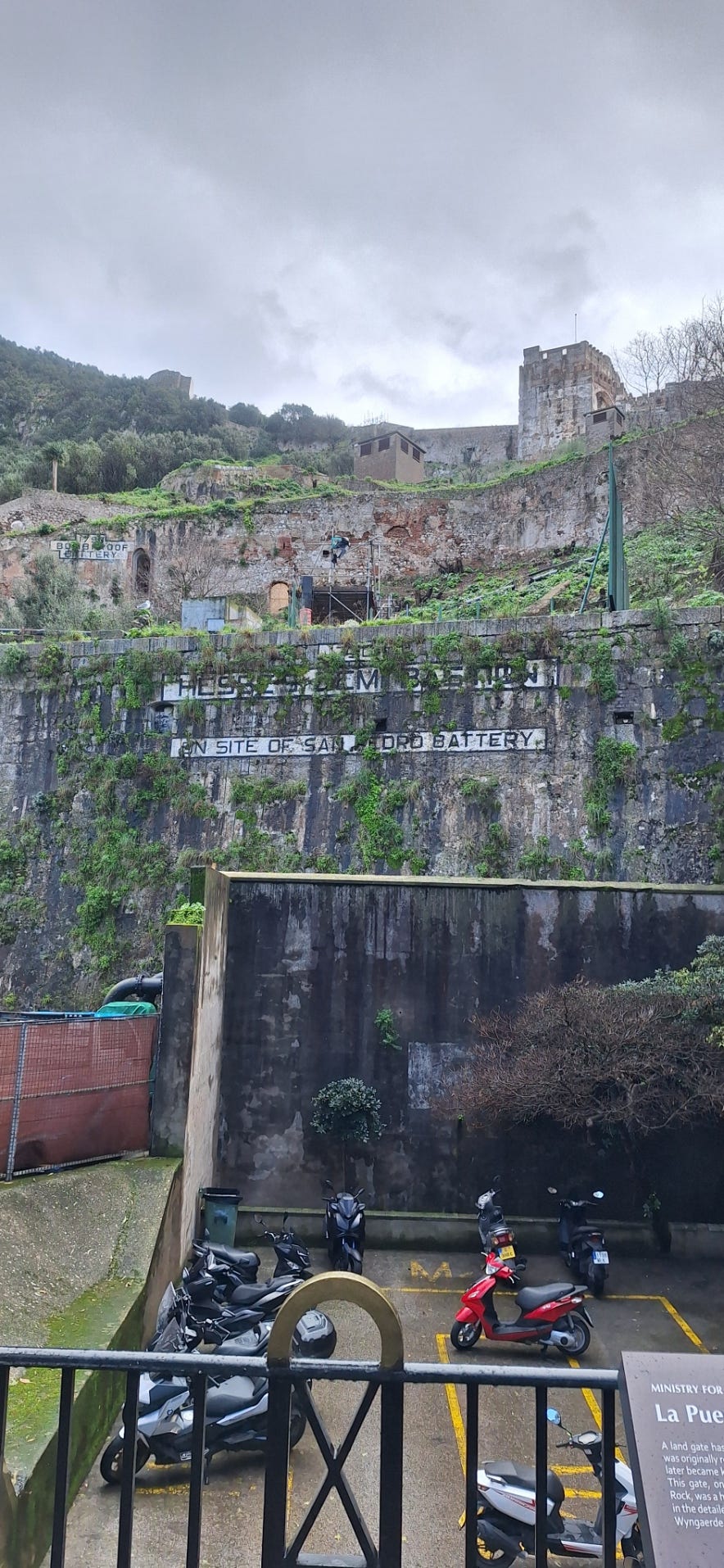
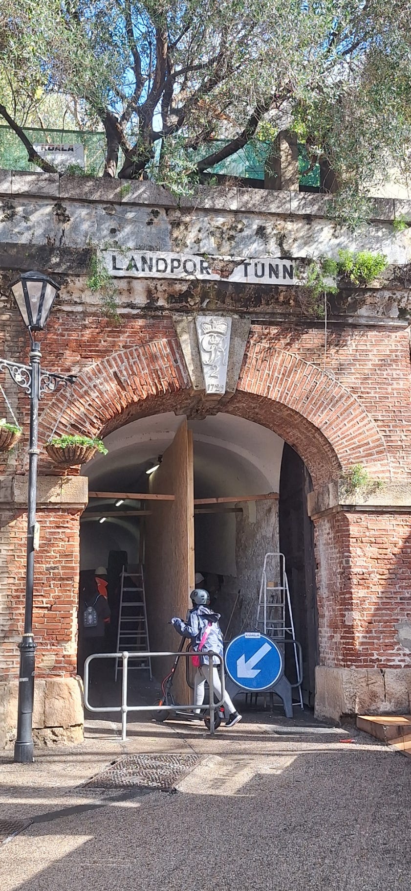
Strategically, Gibraltar has always been most vulnerable from the north. There have been attacks from the sea on the west and over the straits to the south and even, very rarely, on the almost vertical east flank, but the easiest way to attack Gibraltar has always been on its only land flank, which means crossing the isthmus north of the town. That’s why the Moorish castle looms over the northern approach and why the first tunnel was cut into the north face of the Rock.
It’s a narrow strip of land, narrower than the runway is long, and in the early 18th century, anticipating an attack from Spain, much of it was flooded to leave only two narrow approaches into the city. A new gate, the Landport, was built to replace the old Spanish Granada gate. Entrance was by a wooden bridge over a steep ditch, the whole site covered by massive brick and stone walls and several artillery batteries.
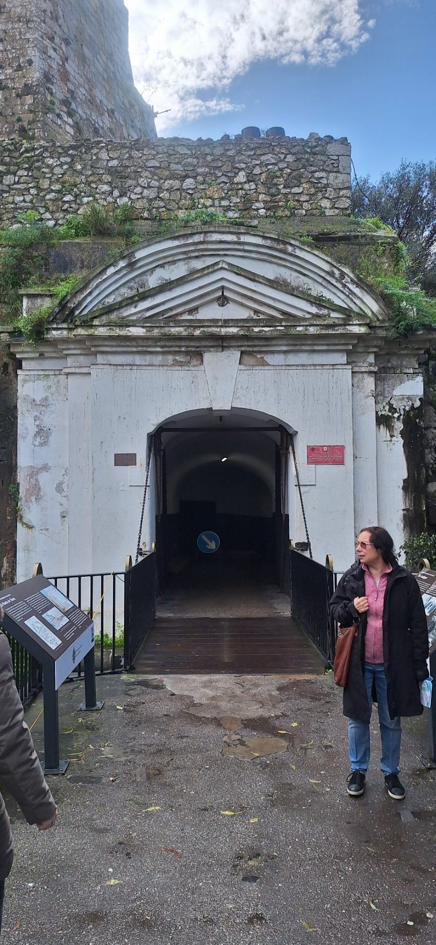
The bridge was mined. If the gate were stormed, the bridge would be blown and the attackers thrown into the ditch below. Blockhouses near the gate meant that defending forces could gather ready to fire on the enemy trapped in the ditch.
Once inside, the gate enters a tunnel with a bend in the middle so anyone finally making it through the gate would run into musket volleys before they would be able to return fire.
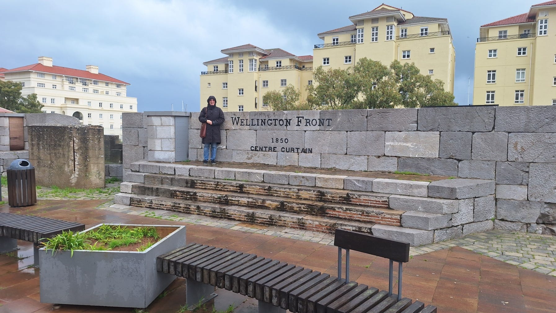
The Line Wall
Gibraltar’s long western flank faces directly onto the Atlantic. The town’s port facilities are here. In the late 18th century, most of the shipping used a mole (think of it like a quay) towards the north of the town with another mole to the south. During the siege, the North Mole proved vulnerable to fire from the Spanish lines beyond the English defences and most shipping then used the South Mole, which grew larger as the North Mole was more or less abandoned. Today the South Mole is massively longer and there is a detached mole which provides a breakwater between the two.
The town was obviously vulnerable from the sea. Gibraltar had fallen to an Anglo-Dutch force in 1704 following a bombardment from the sea and landings not only to the south and north of the town but directly onto the North Mole. There were walls facing the sea that dated from medieval times but the British decided to build a strong west wall suitable for defence in an age of artillery. At the centre of the line was a strong point, the King’s Bastion, which projected out from the wall providing a gun position that could fire on enemy forces approaching the defences under the guns ie too close for the guns on the wall to fire down at them.
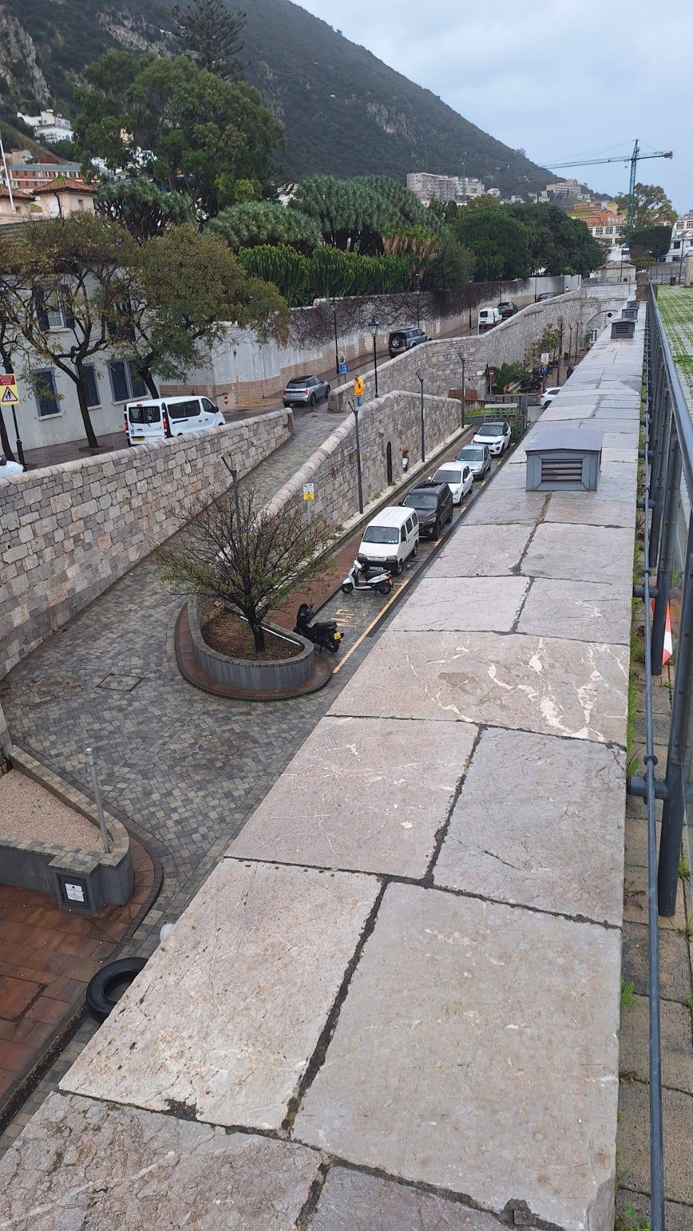
Much of the Line Wall still stands, although land reclamation means that in many places the wall is some way from the sea.
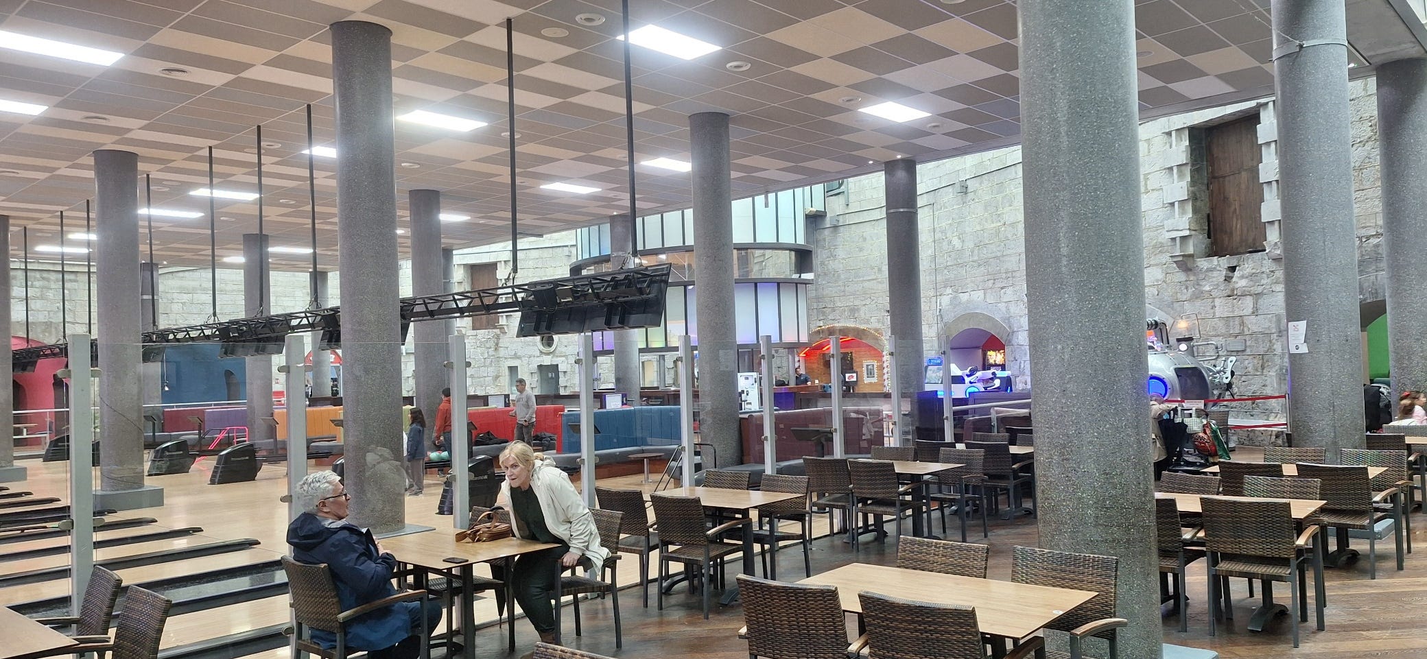
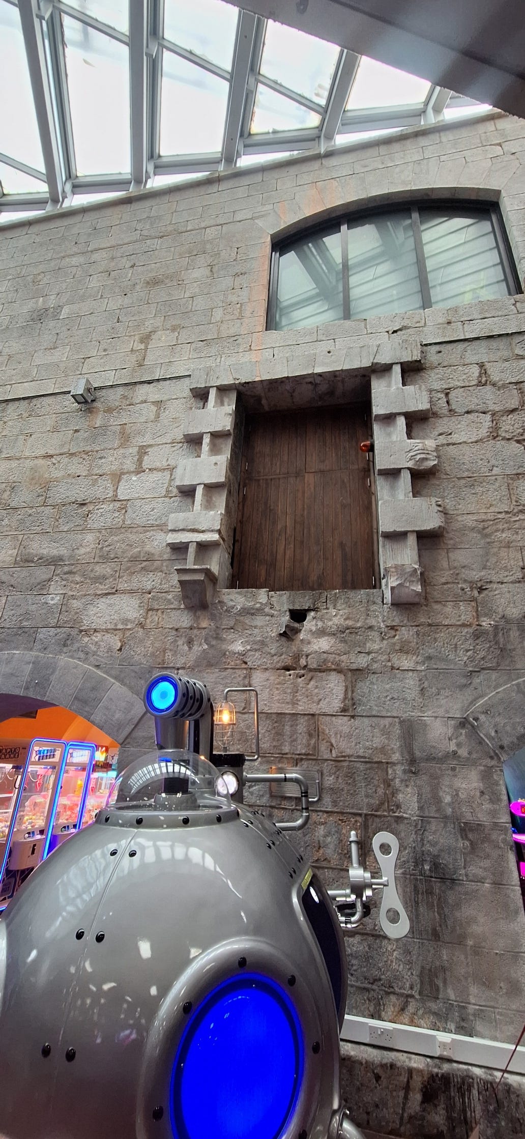
Despite the wall now being inland, much of it is still visible. The King’s Bastion itself has been turned into a leisure centre.
Quite a lot of the original Bastion remains. The doors now hanging incongruously in the middle of the wall were originally at the top of flights of steps that led to the gun positions on the top of the Bastion.
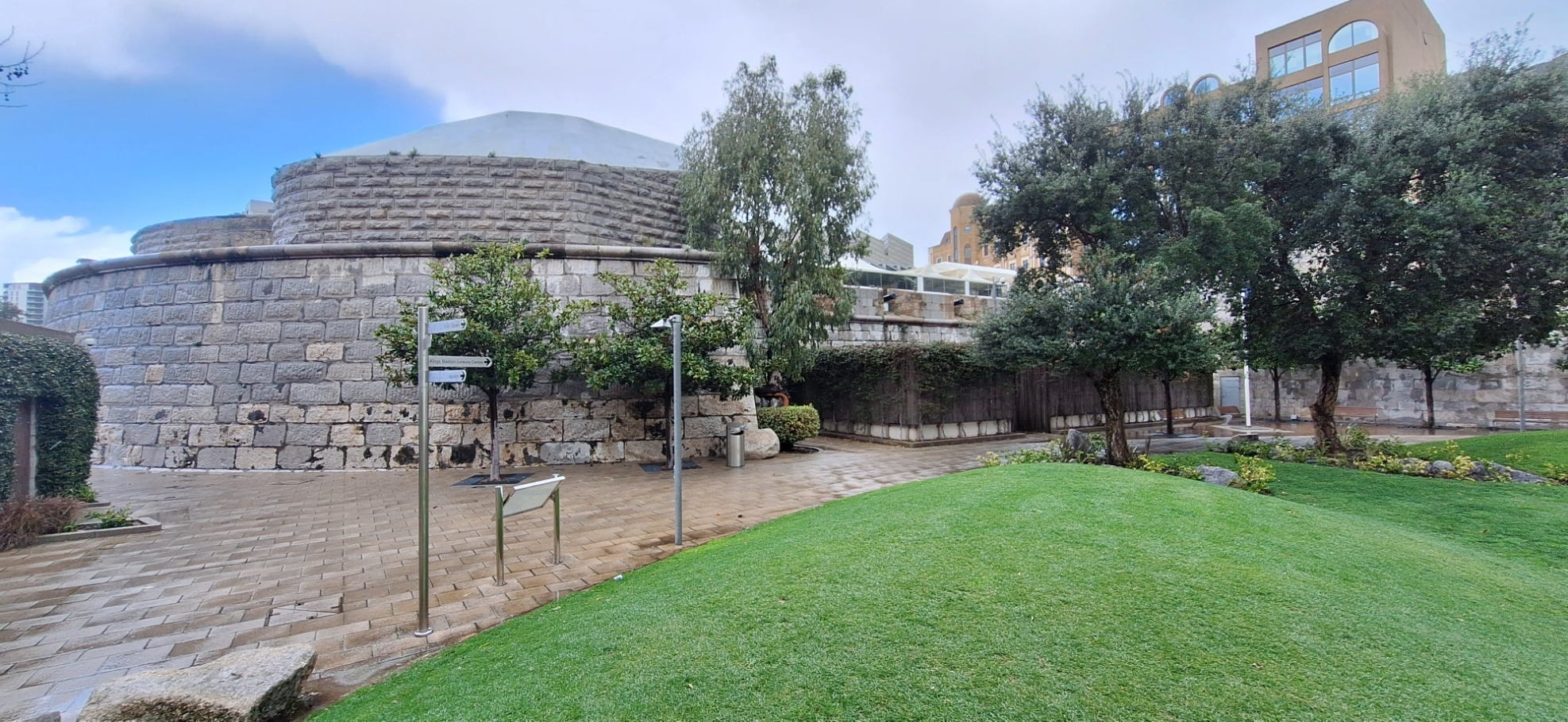
From outside, the Bastion is still impressive. The larger stone blocks are the original bastion. The smaller stonework above is modern. Where the park is now (the grass and everything to the left) would have been sea. You can see how far out the Bastion projected from the wall (behind the trees to the right).
The Bastion was the focus of the main artillery attack from the sea during the great siege. In the end the attack failed with many of the enemy gunships sunk and the rest withdrawn. The Bastion held.
The King’s Bastion is a particularly difficult place to visualise, given that so much of it has changed and it’s so far from the sea, but the rest of the Line Walls can also be a bit confusing. The medieval walls were subsumed into the Georgian defences but the Victorians then substantially improved the sea defences. In many places the irregular Georgian walls with their meandering medieval foundations were replaced by modern straight walls. In some places the older walls were left in place with the gap between them effectively acting as another ditch in the town’s defences. It means that in some places hundreds of years of structures form a single defensive obstacle to any attackers from the west.
The layers of fortifications! Fascinating.
I found your article on Gibraltar really interesting. I've never been there and didn't know much about its history, and knew nothing about those tunnels. I was so pleased it wasn't all about monkeys! You've fired my interest, so if I get the chance, it's somewhere I'd now like to visit.